22/11/2019
“Scientiae non visae, ut thesauri absconditi, nulla est utilitas” (Science that is not seen, is like a hidden treasure, which is of no use)
Today has been the day. After some months of waiting, we can officially start Viator-e. First of all, a few words to thank the Spanish Ministerio de Ciencia, Innovación y Universidades for funding Viator-e and for the Institut Català d’Arqueologia Clàssica for hosting our project and our IP. We are proud to be part again of this research centre where we began our career some years ago!
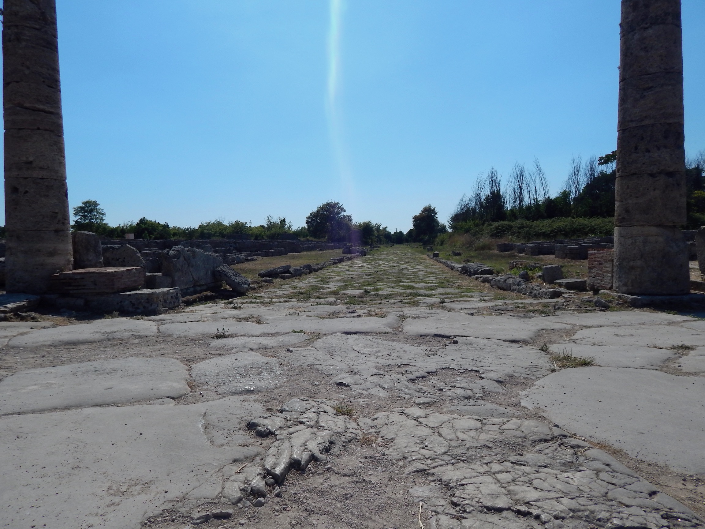
About Viator-e, we just want to emphasize that this project has a huge objective: the creation of an open and freely available Roman road network. To achieve this, we will compile all the published information about Roman roads and we will digitise all the roads. With all this information, we are going to analyse some aspects of the Roman road networks as we did before in previous projects like Mercator-e. Finally, thanks to the collaboration with Tom Brughmans and under the technical advice and development of Rainer Simon, we are creating Itiner-e. Itiner-e will be the platform where all the geographical information of the roads will be stored and published online.
Now is the time to start working. Stay tunned for further news!
Pau de Soto
4 thoughts on “Viator-e Begins”
Excellent work. It is a pity that the map is hard to read. Roman settlements of minor importance are not marked on the map. It makes it difficult to trace Roman routes.
Thank you very much for your comments. Until now, we had only been able to create a provisional map viewer. We hope to improve it in the near future. When we designed this map, we wanted to focus on the road networks and we only include the most important cities extracted from the Pleiades project.
Congratulations, very impressive resource. Is there any way to download the data/file to visualise it in different platforms like Google Earth?
Dear Francisco Javier, thanks for your message. Unfortunately, this project has begun only a few months ago (Nov 2019). Our definitive map platform is not ready yet but if you are interested in our road network of the Iberian peninsula we can share it with you by mail. Just let me know.
Comments are closed.